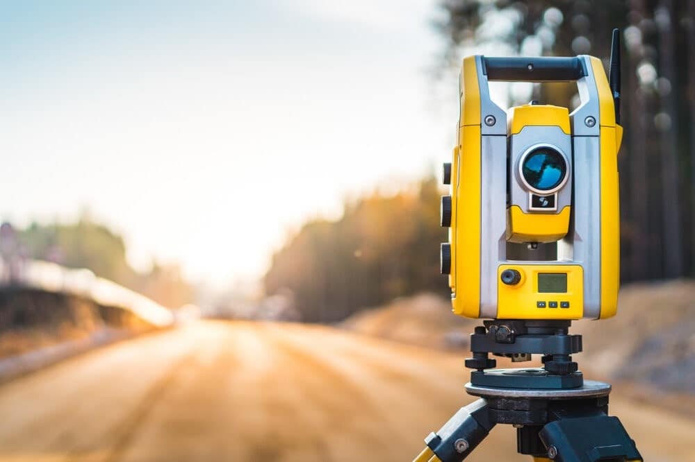
Surveying is a crucial process in civil engineering, construction, and land development, providing the precise measurements and data needed to design and build structures and landscapes. While major instruments like theodolites, total stations, and GPS receivers are well-known, minor instruments also play vital roles in ensuring accuracy and efficiency. This guide explores these minor instruments, their functions, and their significance in the surveying process.
Plumb Bob
The plumb bob is a simple yet essential tool used to establish a vertical datum. It consists of a pointed metal weight attached to a string. Surveyors use it to transfer points from the ground to a higher elevation, ensuring that structures are vertically aligned. This instrument is especially useful in establishing true vertical lines in the initial stages of construction projects.
Uses:
Checking the vertical alignment of structures.
Transferring points from the ground to elevated positions.
Establishing true vertical lines during construction.
Leveling Staff (Rod)
The leveling staff, or rod, is a graduated wooden or aluminum rod used in conjunction with leveling instruments to measure differences in elevation. It is marked with precise measurements, usually in meters or feet, allowing surveyors to determine height differences accurately.
Uses:
Measuring differences in elevation.
Assisting in topographic surveys.
Providing reference points for construction projects.
Prism Pole
The prism pole is an essential accessory for total stations and other electronic distance measurement (EDM) devices. It holds a prism reflector that reflects the EDM signal back to the total station, allowing for precise distance and angle measurements. Prism poles are adjustable in height and often come with built-in levels to ensure vertical alignment.
Uses:
Holding prism reflectors for EDM measurements.
Ensuring precise distance and angle measurements.
Facilitating the use of total stations in various terrains.
Measuring Tape
A measuring tape is a flexible ruler used to measure distances. Made from materials like fiberglass, steel, or cloth, measuring tapes are available in various lengths and are essential for quick and straightforward distance measurements on-site.
Uses:
Measuring short to medium distances.
Laying out construction plans.
Verifying dimensions during construction.
Hand Level
A hand level is a small, portable leveling instrument used for rough leveling tasks. It consists of a spirit level and a sighting mechanism. Surveyors use hand levels for preliminary leveling and checking the relative height of points before using more precise instruments.
Uses
Rough leveling tasks.
Preliminary site surveys.
Checking relative heights of points.
Clinometer
A clinometer, or inclinometer, measures angles of slope, elevation, or depression of an object concerning gravity. It is useful in topographic surveys, construction, and geology to determine the steepness of slopes and the height of distant objects.
Uses:
Measuring slopes and angles.
Topographic surveys.
Determining the height of objects.
Abney Level
The Abney level is a surveying instrument used to measure angles of slope, elevation, or depression. It combines a spirit level and a protractor, making it versatile for various surveying tasks. This instrument is particularly useful for tasks requiring angle measurements over short distances.
Uses:
Measuring angles of slope, elevation, or depression.
Topographic surveys.
Forestry and geology applications.
Optical Square
An optical square is a simple instrument used to set out right angles. It consists of a small telescope or a pair of mirrors arranged to reflect light at a 90-degree angle. This instrument is particularly useful in laying out perpendicular lines in construction and surveying.
Uses
Setting out right angles.
Laying out perpendicular lines.
Establishing reference lines in construction.
Steel Band (Tape)
The steel band, or tape, is a more robust and precise measuring tool compared to a standard measuring tape. It is made of steel and is used for measuring longer distances with higher accuracy. Surveyors use steel bands for tasks that require precise measurements, such as establishing baselines.
Uses:
Measuring long distances with high accuracy.
Establishing baselines.
Precision measurements in surveying.
Planimeter
A planimeter is a device used to measure the area of a two-dimensional shape on a plan or map. It consists of a tracing arm and a measuring mechanism. Surveyors use planimeters to calculate areas of irregular shapes, which is essential in land surveying and mapping.
Uses
Measuring areas of irregular shapes.
Land surveying.
Calculating areas on plans and maps.
Conclusion
While major instruments in surveying often receive more attention, minor instruments are equally important in ensuring the accuracy and efficiency of surveying tasks. From establishing vertical and horizontal alignments to measuring distances and angles, these tools are indispensable in the field. Understanding their functions and applications can significantly enhance the quality of surveying work, leading to more precise and reliable outcomes in construction and land development projects.

